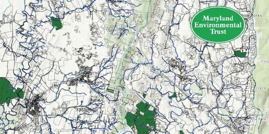
As with most things, all stream restoration or riparian buffer opportunities are not equal. Knowing where to target efforts and resources has always been challenge. In 2019, Maryland Environmental Trust and Chesapeake Conservancy teamed up to produce digital maps that could change the way we make strategic decisions about stream restoration and best management practices. Currently available in the Catoctin and Antietam watersheds, viewers click on a property and find its location, acreage, and, most critically, how many acres of restoration opportunity lay in each parcel. Spend a little time on it and you quickly see: It’s not always the biggest property that creates the biggest opportunity. The tool is available for all practitioners to use in working with landowners interested in implementing best management practices. Check it out here.
MET Maps Help Identify Restoration Opportunities
© [2020] · Catoctin Land Trust – Website powered by The Downstream Project

